
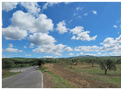
Tenuta del Fontino-Tatti
Observation point | After 14.2 km
Way up the medieval little town of Tatti.
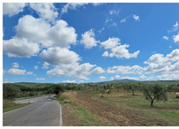
Tenuta del Fontino-Tatti
Observation point | After 14.2 km
Way up the medieval little town of Tatti.
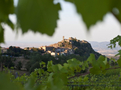
Tenuta del Fontino-Tatti
Snack-bar | After 22.6 km
Short stop at the wineyard Ampeleia with the possibility of wine tasting.
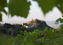
Tenuta del Fontino-Tatti
Snack-bar | After 22.6 km
Short stop at the wineyard Ampeleia with the possibility of wine tasting.